Driving in Barbados: A Guide to Island Navigation
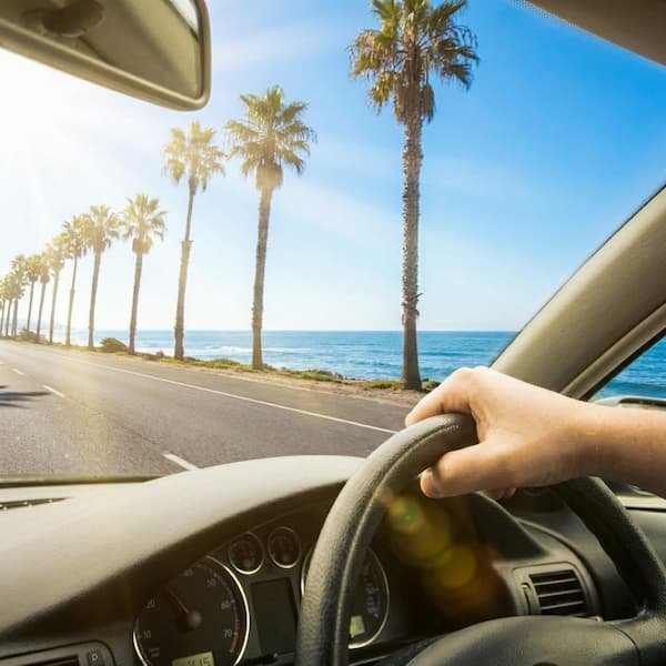
Navigating the windward side of Barbados by car is an exercise in liberating discovery. While the West Coast offers manicured luxury and predictable traffic, the roads leading to St. Philip and Bottom Bay reward the adventurous driver with dramatic Atlantic vistas, swaying fields of sugarcane, and the rhythmic “toot-toot” of local gratitude. It is a region where the journey is as significant as the destination, characterised by narrow, winding corridors that open suddenly into breathtaking clifftop panoramas. Driving yourself allows you to bypass the restrictive schedules of tourist shuttles and experience the island’s rugged “Back Roads” culture.
Driving here is communal; it’s characterised by polite horn-toots at blind corners and the intuitive flow of the roundabout system.
The Basics: Rules & Licensing
Following the policy shift in October 2025, the standalone $10 BBD visitor permit was abolished and replaced by a mandatory **Car Rental Levy** ($5 BBD per day), which is now automatically included in your hire agreement. Consequently, a valid driver’s licence from your home country is the sole documentation required for those over 21. However, most rental agencies in Barbados maintain a strict policy requiring drivers to be 25 years or older. You must keep to the left-hand side of the road at all times. Seatbelts are mandatory for every occupant, and mobile phone use while driving is strictly prohibited unless using a hands-free system.
- Speed Limits: 40 km/h in residential areas, 60 km/h on rural roads, and 80 km/h on the ABC Highway.
- Radar Enforcement: Speed limits are strictly enforced via mobile radar units frequently positioned along the ABC Highway.
- The “H” Plate: Rental cars are easily identified by registration plates starting with the letter ‘H’.
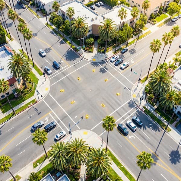
Mastering the Roundabout System
Roundabouts are the backbone of Barbadian navigation, replacing traditional traffic lights at most major junctions. The fundamental rule is to give way to the right. When approaching the major roundabout at The Crane junction—which connects Highway 6 to the airport route—always yield to traffic already in the circle coming from your right. On multi-lane roundabouts, stay in the left lane if you plan to take the first or second exit. Use your indicators early to signal your intent to exit, ensuring a smooth flow for following drivers.
| Route Type | Best For |
|---|---|
| ABC Highway | Fast transit between the Airport and the West Coast. |
| Highway 7 | Coastal access to south coast beaches and ZR bus routes. |
| Parish Lanes | Reaching Harrismith Beach and rural St. Philip. |
Navigational Etiquette & Hazards
Understanding the “Bajan Flash” is essential for confident island navigation. Unlike in the UK or North America, flashing headlights does not signify an aggressive warning; it is a courtesy signal inviting another driver to turn or pull out in front of you. If a local driver flashes you at a narrow junction in St. Philip, they are giving you the right of way. A quick “toot-toot” of the horn is the standard way to say “thank you” or to alert pedestrians at blind corners where the coral walls sit tight against the tarmac.
In rural parishes, be particularly vigilant for “Blackbelly Sheep” or green monkeys crossing the road, especially at dawn or dusk. Streetlights are sparse once you leave the main highways, making night driving to remote spots like Bottom Bay a challenge for the uninitiated. Rural roads are often only “one-and-a-half” cars wide. If you encounter an oncoming bus or truck, the vehicle closest to a “lay-by” or wide shoulder is expected to stop to let the other pass.
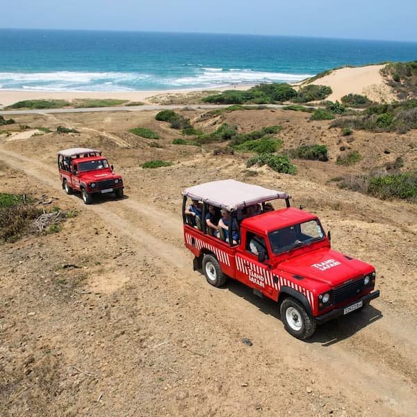
Remote Freedom: The East Coast
To reach the secluded shores of Bottom Bay or the rugged wilderness of the East Coast, a car is essential. Standard shuttles rarely service these areas, meaning you’ll have the dramatic limestone “windows” to the sea almost entirely to yourself. While Google Maps is generally accurate, Waze is the preferred app for locals as it more accurately flags “pothole swerves” and temporary road closures due to utility work on the narrow St. Philip corridors. If you are heading out for a day of photography and picnicking, fill your tank beforehand; petrol stations are almost exclusively full-service and become sparse once you move past Six Cross Roads.
Regional Exploration: Beyond the Wheel
The Crane Resort & Beach, established in 1887, is the oldest continuously operating resort in the Caribbean. The original “Marine Villa” section still stands as a testament to the island’s colonial architectural history. For the visiting driver, the resort is a primary landmark in St. Philip. It features a glass-walled cliffside elevator that provides public access to the beach, which is significantly safer for bodyboarding than Bottom Bay due to the protection of a natural coral reef. The 55,000-square-foot Crane Village offers a controlled environment for duty-free shopping and is a reliable stop for those needing a break from the coastal sun.
Further along the coast lies the site of Sam Lord’s Castle, now reimagined as the Wyndham Grand Barbados. The legend of Samuel Hall Lord is central to the area’s folklore; he allegedly hung lanterns in the coconut palms to trick ship captains into wrecking their vessels on the “Cobblers Reef.” While the original 1820 Georgian-style mansion was destroyed by fire in 2010, the location remains a significant point of interest for its sprawling grounds and the history of the “Wrecker” who once plundered the Atlantic trade routes. It is an ideal stop-off point when building a full-day regional itinerary.
Pro Tips for International Drivers
- Fueling Culture: You do not pump your own gas in Barbados. An attendant will assist you, and it is customary to remain in your vehicle during the transaction. Credit cards are widely accepted at the pump.
- Parking Protocol: While the clifftop lot at Bottom Bay is free, do not leave any valuables visible in the car. Rental cars are targets for opportunistic theft in secluded areas. Check our Safety & Logistics guide for more on site security.
- The ABC Highway Bypass: From Grantley Adams Airport, use the ABC Highway to bypass the heavy traffic of the South Coast. Look for signs for “Six Cross Roads” to head toward the East.
- Ocean Awareness: Remember that driving to the East Coast brings you to more dangerous waters. Read our post on Barbados Ocean Safety before attempting to swim at any beach without a lifeguard.
Getting slightly lost often leads to the most breathtaking cliff-top vistas or a hidden rum shop tucked away in a field of sugar cane.
Recommended Island Tours
Frequently Asked Questions
- Do I need a special permit to drive in Barbados? As of late 2025, international visitors over 21 only require a valid licence from their home country to drive. You no longer need to pay the previous $10 BBD fee for a local visitor’s permit at the rental desk.
- What side of the road do they drive on in Barbados? In keeping with British tradition, all traffic in Barbados moves on the left-hand side of the road. This can be an adjustment for North American drivers, so take extra care at roundabouts and intersections.
- Are the roads to Bottom Bay well-paved? The main roads are generally in good condition, but the final approach lanes in St. Philip can be narrow and may feature significant potholes. Using an app like Waze is highly recommended to navigate these minor road hazards.
- Is it easy to find parking at Bottom Bay? There is a dedicated clifftop parking area at Bottom Bay that is free to use for all visitors. However, it is an unsupervised area, so ensure the vehicle is locked and all valuables are stored out of sight.
- How are speed limits enforced on the island? Speed limits are enforced by the Royal Barbados Police Force using mobile radar units, particularly on the ABC Highway. Fines for speeding can be significant, so it is best to adhere strictly to the 80 km/h maximum on the highway.